


Odisha Holds PM GatiShakti Workshop to Improve Project Planning
State pushes for integrated logistics, faster clearances and coordinated development using a unified digital platform
Bhubaneswar: The Odisha Commerce & Transport Department today organised an important workshop on PM GatiShakti, focusing on strengthening coordinated, data-driven and future-ready infrastructure development across the State. The session highlighted how adopting a Geo-Spatial Logistics Planning Framework can transform the way Odisha plans, executes and monitors major infrastructure projects.
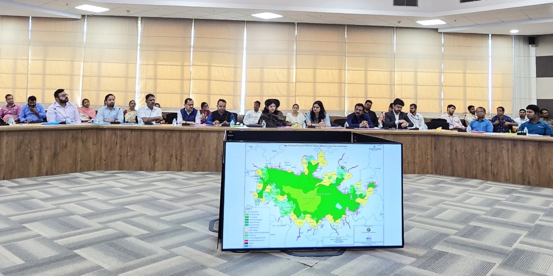
The workshop offered practical training to officials from various departments on using a unified geo-spatial digital platform. This platform allows multiple agencies to plan and implement projects together, reducing delays, improving clarity and ensuring more efficient use of resources. By viewing land, infrastructure gaps and connectivity requirements on a single digital map, departments can speed up project formulation and make more accurate, scientific decisions.
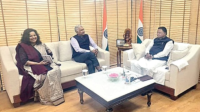
Speaking at the event, Usha Padhee, Principal Secretary of the Commerce & Transport Department, said that geo-spatial intelligence is becoming the backbone of Odisha’s long-term infrastructure strategy. She stressed that modern planning requires close coordination between transport, industry, ports, logistics, mining, urban development and rural development. When all departments analyse proposals together—using the same map and data—they can achieve faster clearances, better land assessment and lower project costs.
The integrated geo-spatial system brings together logistics corridors, major roads, rail lines, port connectivity, industrial areas, utilities and land-related data. This helps departments prepare scientific DPRs, identify land availability, assess connectivity needs and streamline the movement of goods and people across Odisha. The State is now shifting from isolated project planning to a comprehensive, interconnected model where new infrastructure supports wider economic growth, industrial expansion and public convenience.
The workshop was conducted in partnership with the Department for Promotion of Industry and Internal Trade (DPIIT), Government of India, and BISAG-N (Bhaskaracharya National Institute for Space Applications and Geo-informatics) under MeitY. PM GatiShakti aims to reduce logistics costs and enable smoother, multimodal transportation through integrated planning.
During the session, Principal Secretary Padhee led discussions on the development of the State Integrated Logistics Master Plan. Kaustav Dipta Pany, Commissioner of Rail Coordination, briefed participants on key suggestions from the PM GatiShakti SMP Workshop and shared the roadmap for using the GatiShakti Portal to improve coordinated planning. Shri T. P. Singh, Director General of BISAG-N, assured Odisha of continued technical support.
Odisha plans to further strengthen its institutional capacity, inter-departmental cooperation and digital-mapping-based governance. The State aims to make the Geo-Spatial Planning Tool the foundation for future master plans, multimodal logistics projects and long-term investment strategies—paving the way for smarter, faster and more efficient infrastructure development.